
![]()
![]()
![]()
![]()
![]()
![]()
![]()
![]()
![]()
![]()
![]()
|
|
|
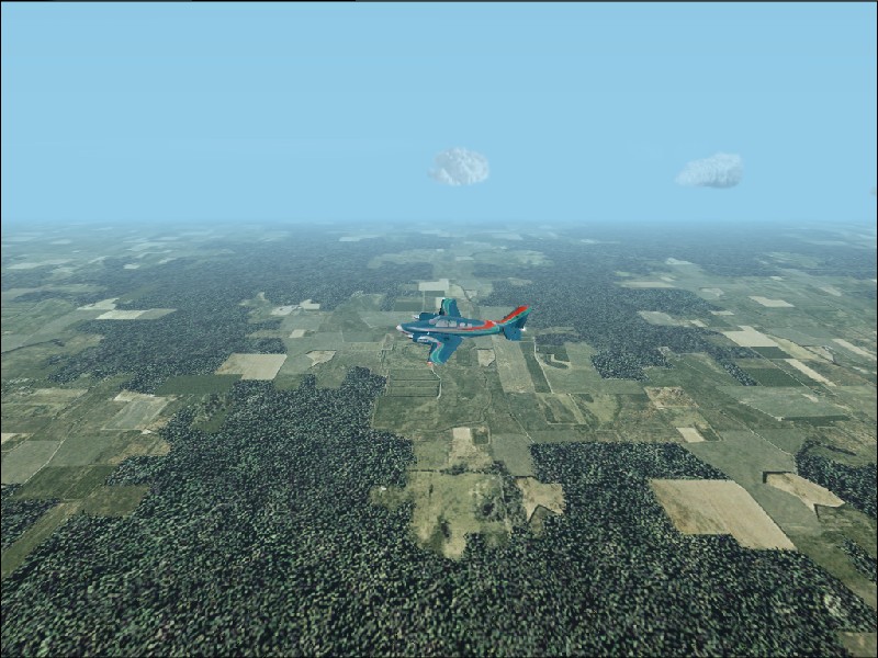
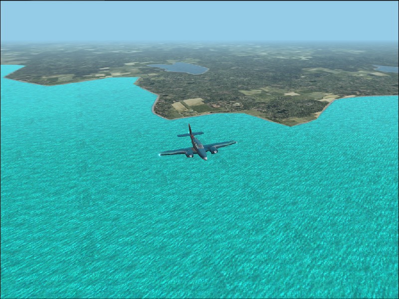
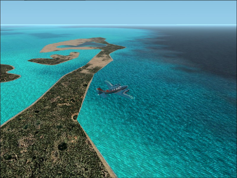
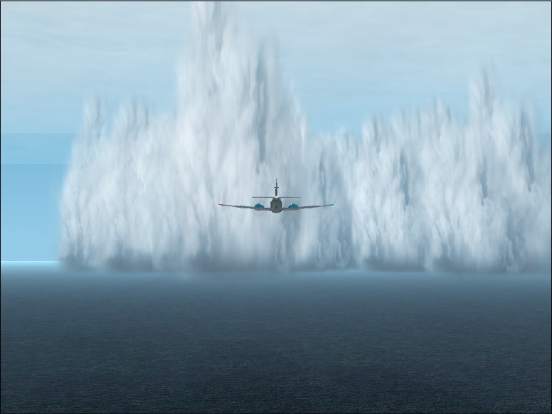
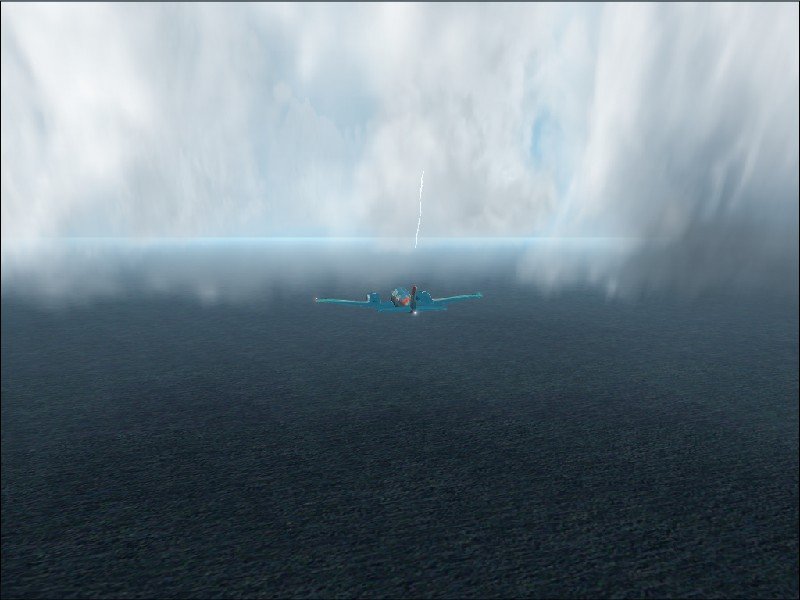
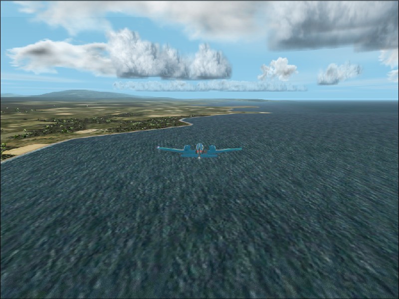
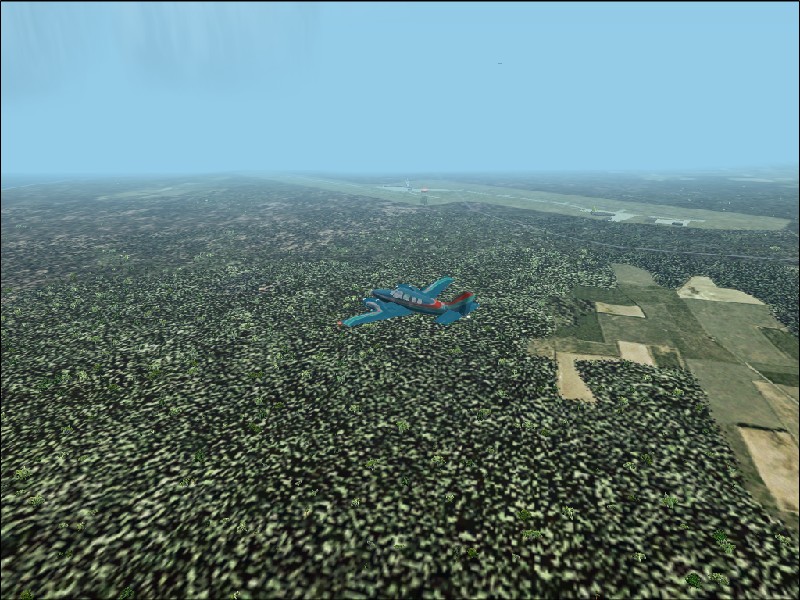
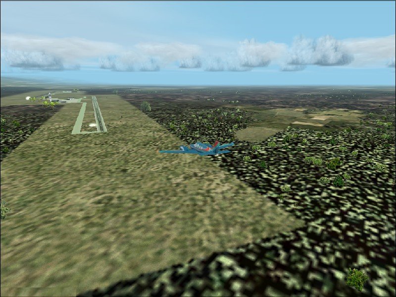
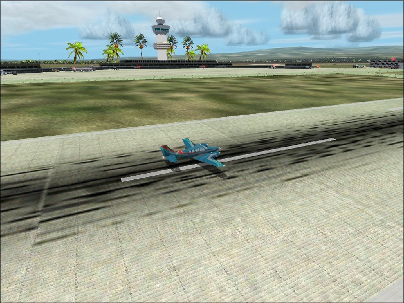
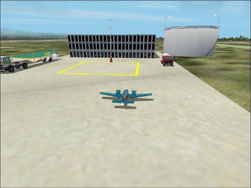
Leg 10 - Page 1 San Andros Airport in The Bahamas to Alta Floresta in Brazil. 9th April 2003 Well I thought Leg 8 was a long one. A mere trip to the shops compared to Leg 10!! I departed San Andros in the Bahamas at 09.08 local time with the intention of flying down to Panama, taking a couple of snaps of the canal, re-fuelling, and then on to Venezuela. As usual, FS2002 had other ideas... The weather was pretty grim for this part of the World. Not cold, but cloudy and hazy, so I settled for 5,000 cruise altitude in anticipation of the usual screenshot festival and headed on my way. After about half an hour, I spotted the Cuban coastline. I resisted the temptation to pop down for a fat cigar, and continued on my way. So far, all was well. I passed over a string of islands to the South of Cuba which displayed all the qualities of a reef. At least 3 different colours of water lay either side of them. Out with the camera again! The wind had decided to take up the role of FS2002 jester on this trip. Initially it was at 5 knots behind me, but after an hour of progressive change, it ended up 7 knots against me. That's real weather for you! I passed through an ENORMOUS cloudbank in the middle of the Caribbean. I took a shot after I'd passed through it, but it was difficult to capture the scale of the thing. It seemed to rise for thousands of feet. This was just the start. As I got within half an hour of Panama, the visibility dropped. Not clouds as such - just haze. Really bad haze. But the weather hadn't finished with me yet. The haze lifted. Great! I thought....then I saw what was looming towards me. I thought the last wall of cloud was big, but this was the Manhattan of clouds in my flight path. Now I could have tried to fly around it, but where's the fun in that? I tightened my seat belt and flew straight into it. It's a credit to the Baron airframe that I emerged the other side. The turbulence was unbelievable and to top it all, it was thunder and lightning on the way through. Having survived this encounter, I took a look a the GPS map. Thing was, I hadn't looked up where the Panama canal actually was....and there seemed to be two strong possibilities from the layout of the coastline. One was to the left of me (East), and one to the right. I flipped a mental coin and banked right up the coast. After about 30nm I decided I'd got it wrong, gritted my teeth and swung the Baron back in the direction I'd come from. Eventually arriving in a bay with still no sign of the canal, I gave up and headed across towards the opposite side of the land with the intention of spotting the exit and refuelling the Baron. I executed a fairly standard approach and landed at Tocumen International airport where I duly filled up the Baron. I'd just say at this point that this airport is one of the nicest default renditions of an airport I've seen in FS2002. Lots of detail and colour and even tankers at the re-fuelling point! The report continues on Page 2. Screenshots 1) San Andros fades away.
3) Not so sunny in the Bahamas today.
4) The Cuban coastline.
5) Mainland Cuba - tobacco plantations everywhere!
6) Tata to the land of the cigar.
7) Reef islands of South Cuba.
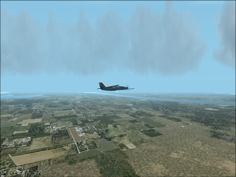
8) Major clouds in the Caribbean.
9) Poor visibility as Panama is only half an hour away.
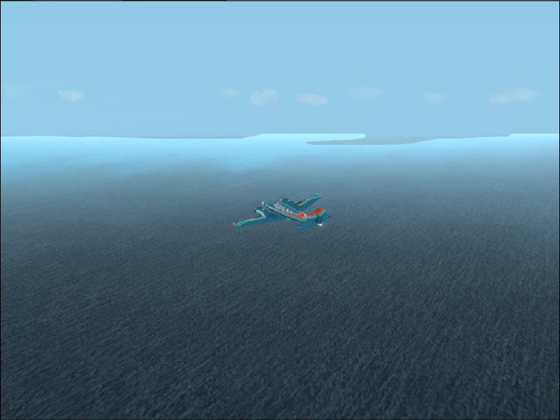
10) And I thought the other clouds were big....
11) Lightning in the cloud bank.
12) In search of the Panama canal (West).
13) Doh! Not to the East either!
14) Downwind leg past Tocumen Intnl.
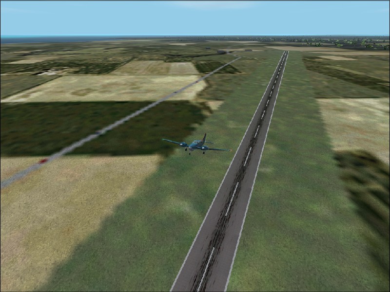
15) A little too high on the final approach but it's a long runway.
16) Past the terminal and control tower which dominates the skyline.
17) Two tankers compete for my gas sale *Grin*.
|
|
Source code and graphics © J.Consterdine 2003 |