Back to Page 1
Leg 10 - Page
2
San Andros Airport in
The Bahamas to Alta Floresta in Brazil. 9th April 2003
After 24 minutes of taxiing and refuelling, I took off
again. The bad weather had followed me like a bad panny and thunder and rain
surrounded me as I left. I did a quick scout around the coast for the elusive
canal. I'd seen no trace of it on my approach to Tocumen, and there was no sign
of it here either.
I'd decided prior to this that I was going to try and
make it further than Venezuela so time being of the essence, I set course for
Guasipati airfield at the South East of Venezuela and sat back, somewhat
moodily. I wasn't best pleased with the outcome of my Panama visit and in a
sudden fit of pique as much as anything else, I banked the Baron back towards
the Panama coastline and resumed my search. As it turned out, my fist search to
the West had missed it by only a couple of nautical miles and with a sense of
victory, I swooped down to take snaps of the canal and some shipping Microsoft
had thoughtfully provided to accompany it.
Feeling much better, I resumed course once more for
Guasipati. The storm had given in to haze again as I crossed the Columbian
coastline. This part of the RTW trip I'd done almost identically in my last
attempt. I knew the two ridges of the Andes lay ahead of me and hoped for the
weather to clear a little for what I knew would be a couple of nice screenshots.
If you can here snickering in the background, it's
FS2002 conjuring up the next of it's little surprises. Half way across Columbia,
I hit complete whiteout. Zero visibility up, down, left and right. Oh good I
thought (insert your own more accurate description here!). I flew on, raisin my
altitude to 6,000 and keeping a wary eye on the radar altimeter. Just as well as
the Andes invisibly swept up in front of me. The alert of the altimeters
flashing light was sufficient to persuade me to sharply pull up and I cleared
the first ridge, although there may be some blue paint on one of those peaks!
I crossed into Venezuela, still in complete whiteout.
This lasted in total for an hour, robbing me of one or two good shots I'd taken
last trip. Eventually, it pretty much cleared up and I was presented with a view
of the Andes in all their glory.
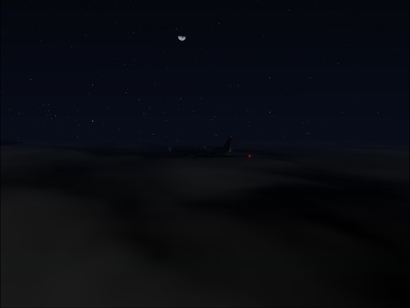
By his time, the Sun was heading down. I climbed to
11,000 feet to clear the last of the high peaks and encountered a rather odd,
but peaceful view of a layer of cloud nestled between them as the Sun set. Being
still some distance from the airfield, the thought that I would be landing in
darkness ambled through my mind. I should say here that Guasipati has no radio
navigation beacons whatsoever. No problem I thought, I know the runway heading
and there's not going to be much else round there apart from the airfield so
I'll just follow the landing lights in. (More chucking in the background from
FS2002).
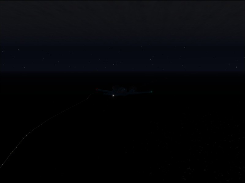
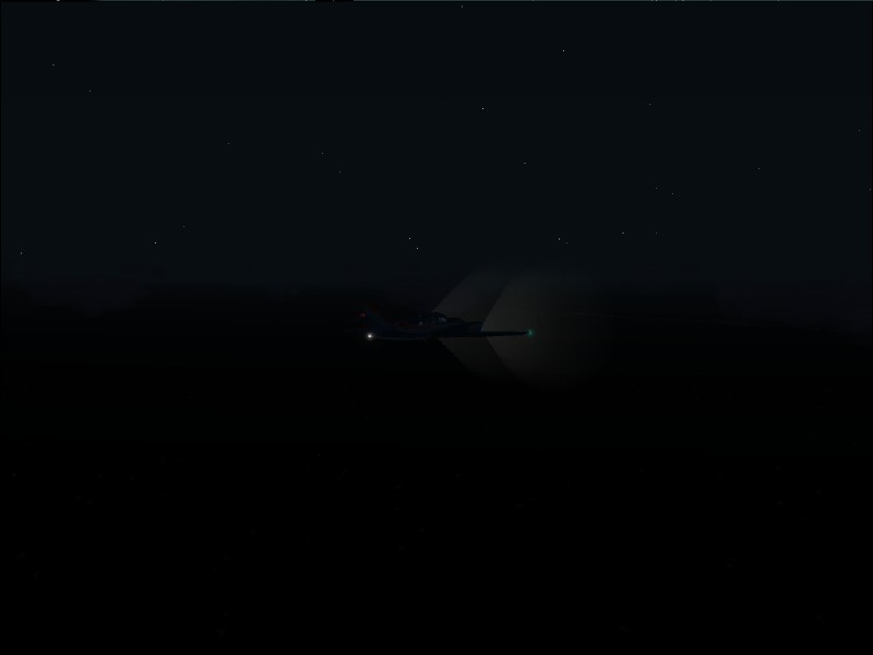
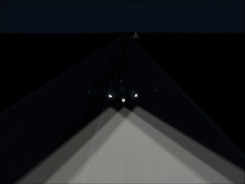
As I neared the airfield, I turned on my landing
lights. The tell-tale cones of light visible betrayed the presence of more
visibility restricting mist. I peered into the gloom. Nothing. Not a sausage. I
watched the distance counting down on the G.P.S. and felt a sickening lurch in
my stomach. The words "Surface: Gravel" from the flight map view
grinned at me. No landing lights!! The only chance I had of finding this strip,
never mind landing on it, was to zoom in as close as possible with the GPS map
and try and line it up using that. This was no mean feat considering that my
Radar altimeter was flashing away at me at the same time, indicating that I was
way to low as I threw the Baron about in an attempt to get something resembling
the right line of approach. More by luck than skill, the Barons wheels thumped
down on the runway throwing up clouds of dirt visible even in these conditions.
I pulled to a halt and looked around me. If there was anything there, I couldn't
see it. I let my heart slow down and re-fuelled (see my flight rules if you want
know how I managed that.)
It was 02.38 G.M.T. when I touched down. I decided to
keep going and looked for an airport in Brazil within range. After my
heart-stopping experience, I decided it had to have a control tower and asphalt
runway to guarentee landing lights this time! (What's that sound in the
background....)
And so it was that I set my navigation equipment up of
Alta Floresta in the heart of Brazil. I cruised for nearly an hor when it
occurred to me that my TCAS (Traffic Collision Avoidance System) radar hadn't
shown anything for ages. It worried me to the point that I went to se if my
traffic.bgl file had been corrupted, but as it turned out, it was just a very
quiet part of the world for aviation.
At 00.23 local time, I crossed the equator. With the
exception of checks for scenery, this was the first time I'd ever done this in
FS2002 in a normal flight! I made a mental note to have an extra beer when I
landed ;-).
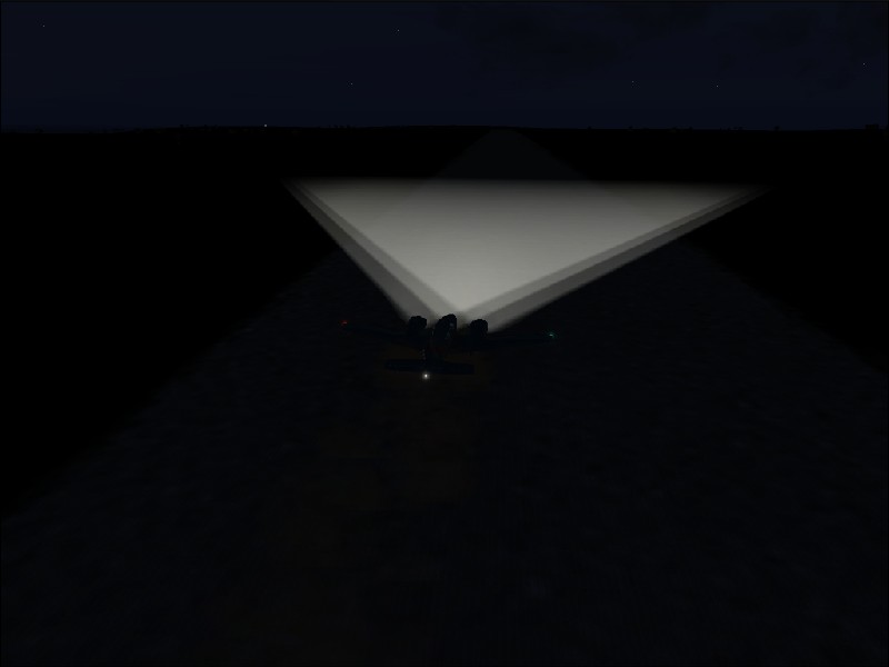
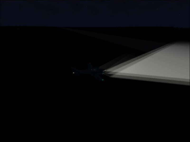
Alta Floresta tower cleared me straight into land,
which was when I couldn't fail to notice the fact that once again - NO RUNWAY
LIGHTS!!! Unbelievable! Is there a light bulb shortage in South America??? The
landing wasn't as bad as before because of the presence of Radio beacons but
even so, I couldn't help thinking that someone was trying to scupper me getting
anywhere in this region!
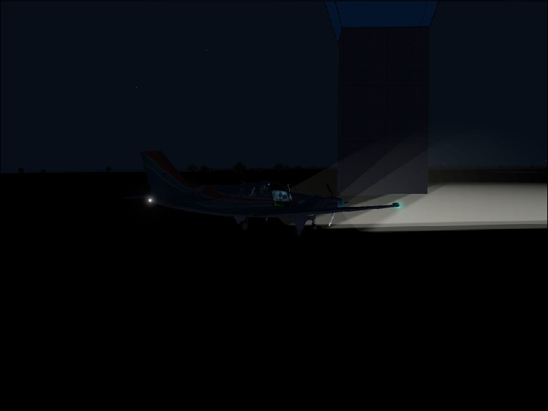
I duly parked up at the control tower and went in to
discuss the finer points of aviation safety in this part of the world with the
Air Traffic Controller! Good job he offered to pay for my beer for the night...
:)
Back to Page 1
Screenshots
18) Raining buckets in the thunder storm.
19) Not my day for a sun tan.
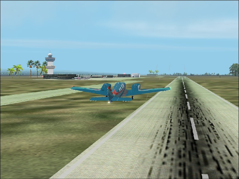
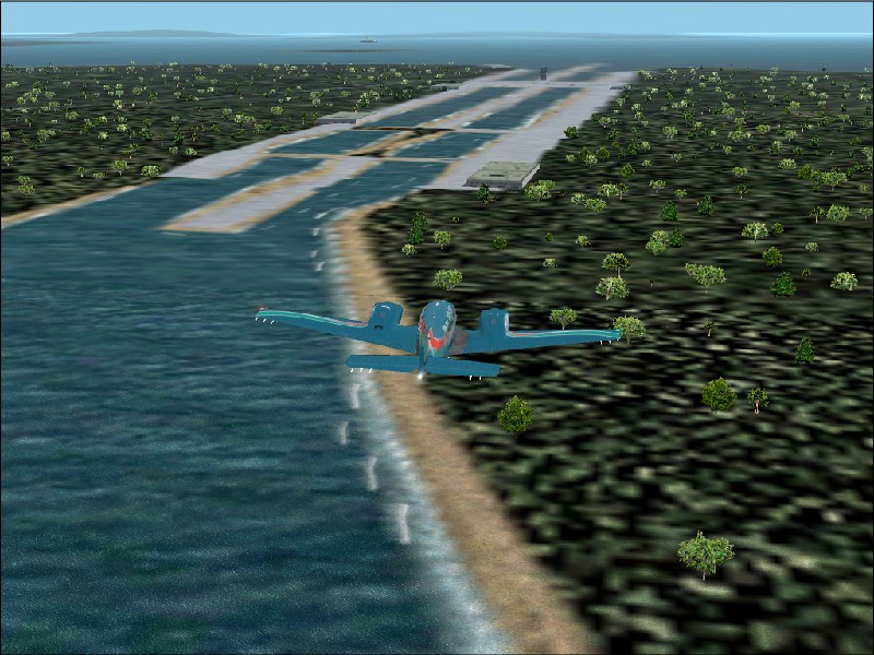
20) Yay a feighter! Found the canal at last.
21) And there it is!
22) A fully laden freighter on the other side.

23) Crossing into Columbia in the mist.
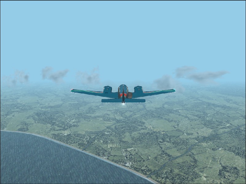
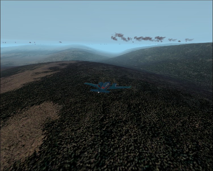
24) Green - the hallmark of the Columbian
landscape.
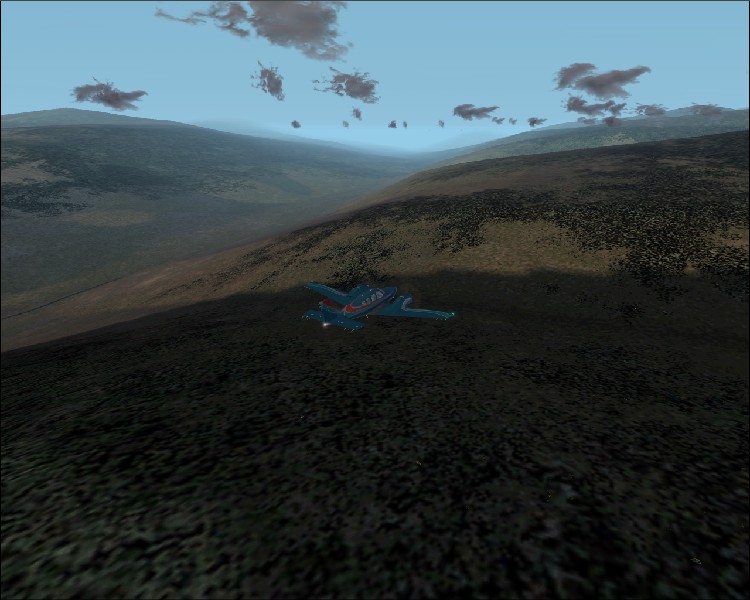
25) Approaching the Andes and then.....this.
26) The Andes at last.
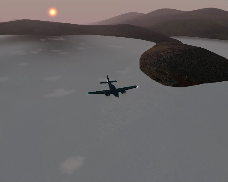
27) Shadows fall as the sun heads downwards.
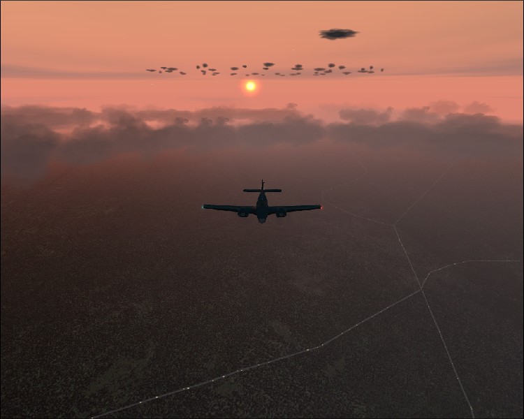
28) Flying above the layer of cloud as the sun
sets.
29) Its going to be a dark landing.
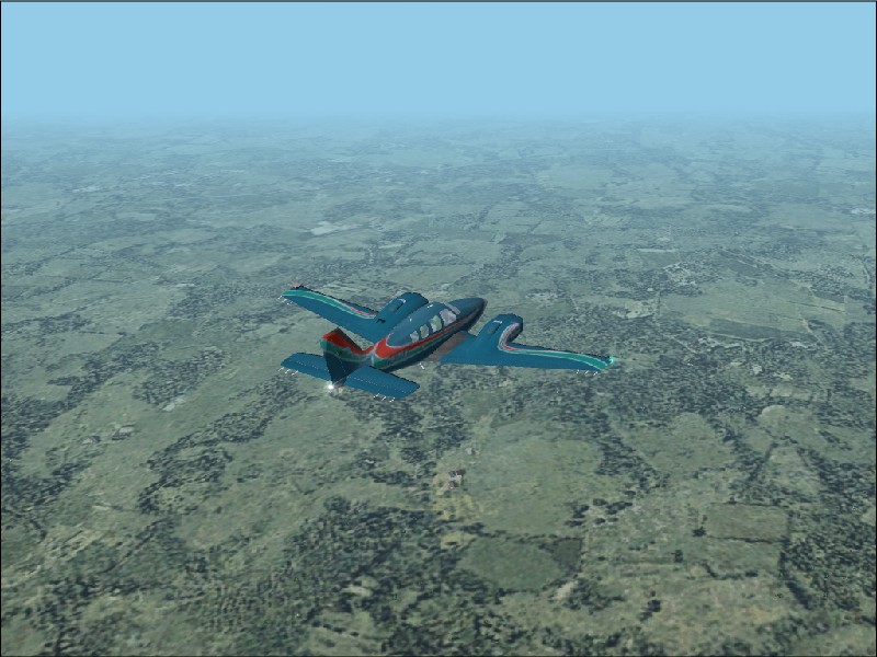
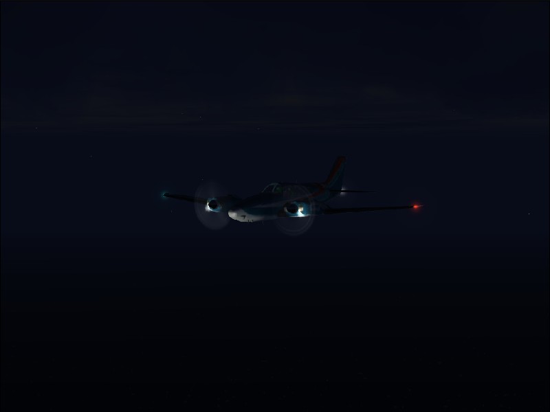
30) Typical of my view for the rest of the
flight.
31) Landing lights highlighting the mist
reducing my visibility as I approach Guasipati.
32) Down safely in the total darkness. Blindest
landing I've ever done.
33) Parked with the runway stretching off to my
left - if you can see it.
34) Starry night and Mr Moon above the clouds
of Venezuela.
35) Setting up the approach for Alta Floresta.
36) And down with yet more sweat on my brow.
37) Parking up by the control tower to discuss
the finer points of aviation safety with the controllers.
Back to top Back
to Page 1