Leg 11
Alta Floresta in Brazil
to Rio De Janeiro. 23rd April 2003
I've recently experienced some problems with my
joystick and today, it finally decided to work again so I got ready to head to
Antonio C. Jobim International Airport in Rio De Janeiro. After my experience
with the last two airports I'd landed at, I wanted a big airport with runway
lights, Air Traffic Control and all the facilities that an airport could offer!
This seemed like the best bet.
I packed my bermuda shorts because having seen all the
photos of Rio, I wanted to be prepared for a heavy duty tan and all those bikini
clad ladies on the beach!!
I dialled in the destination to the GPS navigation
system and at 14.57 local time, I took off. Small point for FS2002 users here:
Although Alta Floresta has a control tower (but no runway lights - see the last
leg!), there was no taxi-line offered when I requested to taxi to the runway.
The sky was pretty much clear and having checked my fuel range, I decided that I
could afford to cruise at 5,000 feet for the usual screenshot availability that
altitude affords.
To be honest, I subsequently found out that my route
was to take me over the Brazilian rain forests, leaving me little but trees and
two of Brazil's major rivers to look at. I consoled myself with the fact that
I'd recently installed some add-on scenery for Rio and, not having looked at it
when I did so, I was looking forward to seeing the results. In the absence of
much else to do, I settled back and watched the activity of the other aircraft
in my vicinity.
As many FS2002 users will know, A.I. (Artificial
Intelligence) aircraft lose their Instrument Flight Rules flightplans with
astonishing regularity after failing to achieve the requested altitude. I
randomly locked my TCAS radar onto a Delta jet flying at roughly 23,000 feet. At
this point, I heard Air Traffic Control talking to this aircraft assigning it to
an altitude of FL300 (30,000 feet). I then watched in astonishment as it climbed
at a ridiculous rate, at one point achieving a climb rate of over 12,000 feet
per minute!! Apart from this being impossible, (it was a `heavy` jet), it also
resulted in an over climb to nearly 35,000 feet before the aircraft lost the
vertical speed and once again descended like a rock to try and achieve 30,000
feet, overshooting yet again. Needless to say, the result of this roller coaster
ride was loss of the flight plan, not to mention a hefty bill for Delta to
replace sick bags I'd imagine!!
As the Sun set, I was aware that I was still hours from
Rio. I wasn't unduly concerned as I decided that this would give me the
opportunity for some night shots of Rio and I could collect the day shots when I
departed for my next leg. You'd have thought that I'd have learnt by now not to
assume anything..
The flight progressed uneventfully. Some 500nm for Rio,
the air traffic started increasing as I entered the more inhabited area of the
country. I was nicely relaxed contemplating my impending shots of Rio when the
fog closed in. I mean really closed in. Blanket zero visibility stuff. Hey ho, I
thought. Perhaps it will clear before I arrive and even if it doesn't, I'll have
the autopilot to guide me in this time.
Some time later, I crossed the time line heading West.
With adjustments for British Summer Time, this put me only 3 hours behind my
local time. The temperature by now was -2 degrees C, leaving me thinking that
the previously packed beachware wasn't going to be needed!
With about a 100nm to go, I was preparing to set the
aircraft up for arrival when the fog cleared Magnificent! Screenshots after all!
A further 20nm on, it returned. Not quite as bad as before, but still VERY bad.
As the flight progressed it once again deteriorated to zero visibility. With
70nm to go, I began my descent. This was a short lived experience!! As I
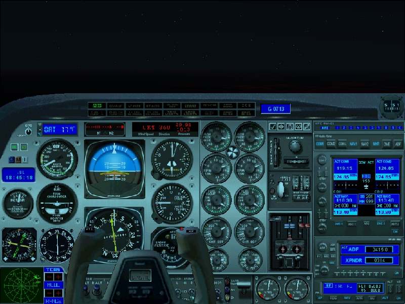
approached 3,500 feet, my Radar altimeter (R.A.) activated. For those that don't
know, this gauge shows your actual height above the ground as opposed to
your height above sea level registered in the normal altimeter. I watched the
needle on the R.A. swing round at an alarming rate to record the ever narrowing
gap between myself and the ground. I was forced to climb. I went back to 4,000
feet. The needle still turned. I eventually ended up back at 5,000 feet with
little more that 350 feet clearance.
I was starting to worry. Seriously worry. The airport
is at an elevation of only 28 feet above sea level. I was less than 50nm from
it, couldn't see a thing apart from the nose of the Baron, and my low fuel
warning light was blinking red at me. Some quick calculations told me that I
couldn't safely negotiate more than one attempt at this landing without risking
the possibility of empty tanks. By now I should have been much lower than
I was in order to set up a decent autopilot approach.
I was left with no choice but to hold my altitude and
watch the radar altimeter, nervously praying for that darn needle to start
climbing so that I could descend. With only 35nm to play with, the needle
abruptly span around telling me I had adequate ground clearance to descend. I
plunge the Baron down chasing my desired altitude of 2,500 feet whilst trying to
follow A.T.C.'s vectors for the approach. In the course of doing this, I banked
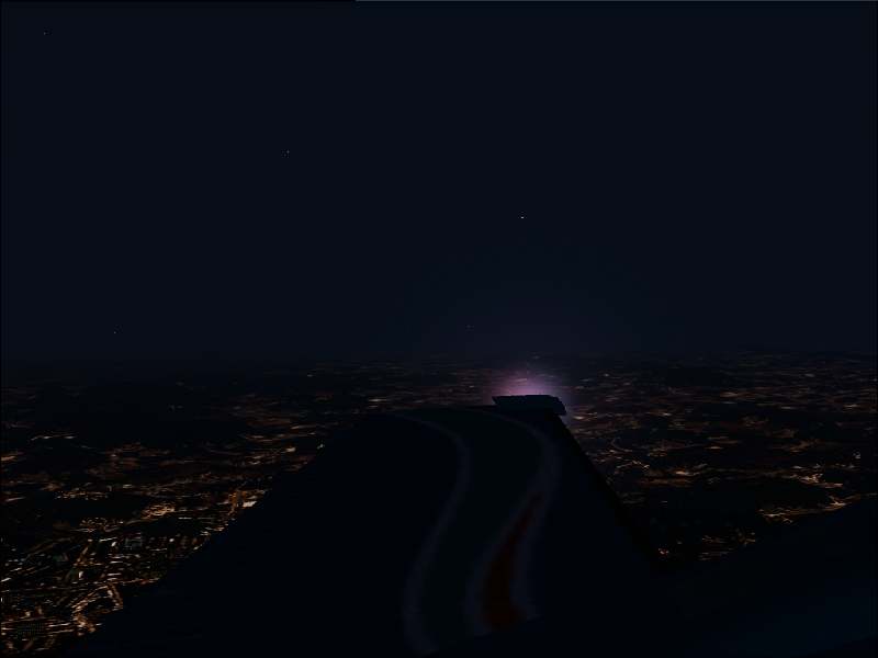
left instead of right. FS2002 then decided to tease me by dissipating the fog to
give me a great view of Rio and a deep sigh of relief. This is the last
screenshot you'll see before I landed as I was WAY too busy to take any and
frankly, I was too concerned about getting the Baron down to be worried about
them. This was followed 2 minutes later by a sinking feeling in my stomach as it
returned. Zero again. Nothing but grey - absolutely nothing.
It took me over 5 minutes of flying time before I
realised I was flying in completely the wrong direction. I swiftly banked the
Baron around and headed back on my vectored course. The fuel gauge was
approaching critical levels now and I knew for certain that there was only going
to be one chance at this landing.
As I turned on to final engaged the APR button on
the autopilot and let it bank me steeply to align with the runway., I'd
completely messed up the turn and was way off course. I decreased the range of
the GPS to watch how the autopilot coped with attaining the glideslope. In
simple terms - it didn't. I was evidently too far off course for the autopilot
to cope with the adjustment. At this point, I panicked. I couldn't see a thing,
and all I now had to go on was the VOR and the GPS. I confess I completely lost
it here. Between trying to line the aircraft up correctly, get the glideslope
right, deal with A.T.C. and worry about another aircraft that was apparently in
front of me number 1 for landing, I simply failed to cope.
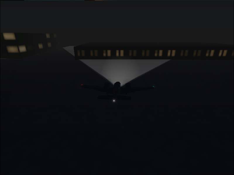
I swung too far too and passed the runway threshold (as
reported by the GPS) too far to the left. More to the point, I was now at a
radar altitude of about 20 feet and I still couldn't see the ground or any
runway lights (even though they were pretty much right next to me).
I got the Baron above the runway as far as the GPS was
concerned and cut the throttles. I descended. 15 feet....10 feet...5 feet....I
still couldn't see ANYTHING which convinced me that despite what the GPS was
telling me, there was no way I could above the runway. I slammed the throttles
open just as, at about 3 feet, the runway lights finally came into view. Too
late however. I bounced nicely off the tarmac and started to climb back into
grey nothingness. At this point, I was now heading off to the right of the
runway as my original course correction hadn't been accurate.
I banked hard left, shut down the throttles again and
peered through the windshield at the grey. I have no idea how much I'd climbed
before this course correction and I'd pretty much abandoned the instruments
apart from the GPS. My next visual of the runway was simultaneous with the large
thud as my undercarriage hit it. I bounced again, but not too far this time and
the Baron finally coasted down between the now visible border lights of the
runway. I applied the brakes and sat at my P.C. staring at the screen breathing
heavily.
The thoughts that this landing could easily have
resulted in a terminal crash ending my RTW flight, coupled with the fact that
I'd got so immersed in it, that it had seemed almost real, left me quite shaken!
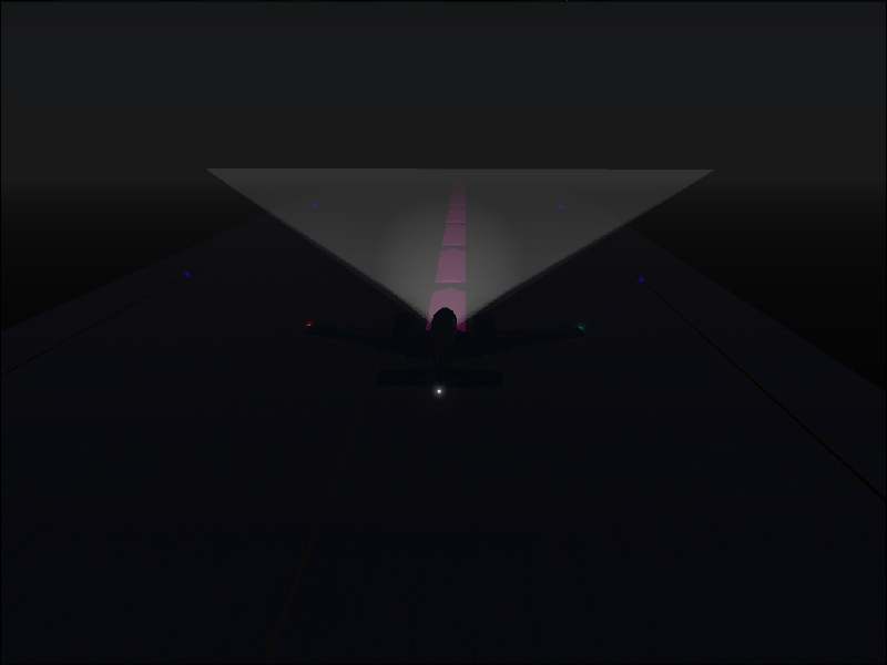
Air Traffic Control blithely requested that I leave the
runway at the first opportunity as if nothing had happened. Fortunately, Antonio
C. Jobim had a taxiway that split off in front of me at an angle of only about
5 degrees from the runway. I entered it and requested the progressive taxi pink
line to guide me. It's the first time I can recall that I've been grateful that
Microsoft made it so gaudy. I could barely se the taxiway lights and I'd have
been all over the place without it.
I set my taxi speed at only 10 knots. I could hear
other aircraft taxiing close to me but I didn't even get a glimpse of them. This
did nothing to reduce the sweat factor on my brow. The prospect that I might
terminate this flight with a taxi crash prodded me like a tormenting imp.
To cut this short, I eventually made it, but it took me
15 minutes of taxiing before I arrived at my parking spot!
I have never been so pleased to save a flight before.
On a slightly off topic comment, it taught me something
though. In the real world as a passenger in a real aircraft, I'd have been sat
in the passenger cabin oblivious to all the activity I experienced as a virtual
pilot. Two things would have happened in real life:
1) We'd have landed safely.
2) The pilot would have been in complete control.
Pilots undergo massive amounts of training to fly
passenger aircraft and it's in circumstances like the above that we reap the
benefits. Obviously a real world pilot would have had charts to warn him of the
surrounding altitude. He'd have been flying IFR and been vectored in by ATC.
He'd have been better warned about the weather. But nevertheless, my admiration
for the ladies and gentleman who perform these landings as a day to day routine
task have my unending admiration. It's so easy to forget how difficult
their task can be and how easy they make it appear.
My hat goes off to all real world pilots to whom this
leg is now dedicated.
Screenshots
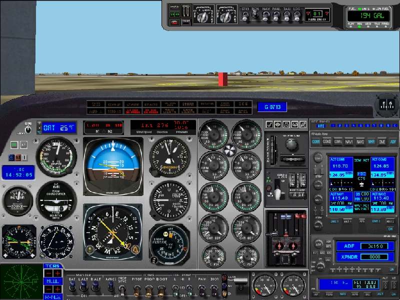
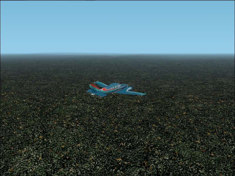
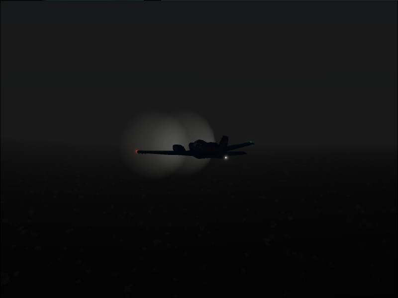
1) Ready to Go!
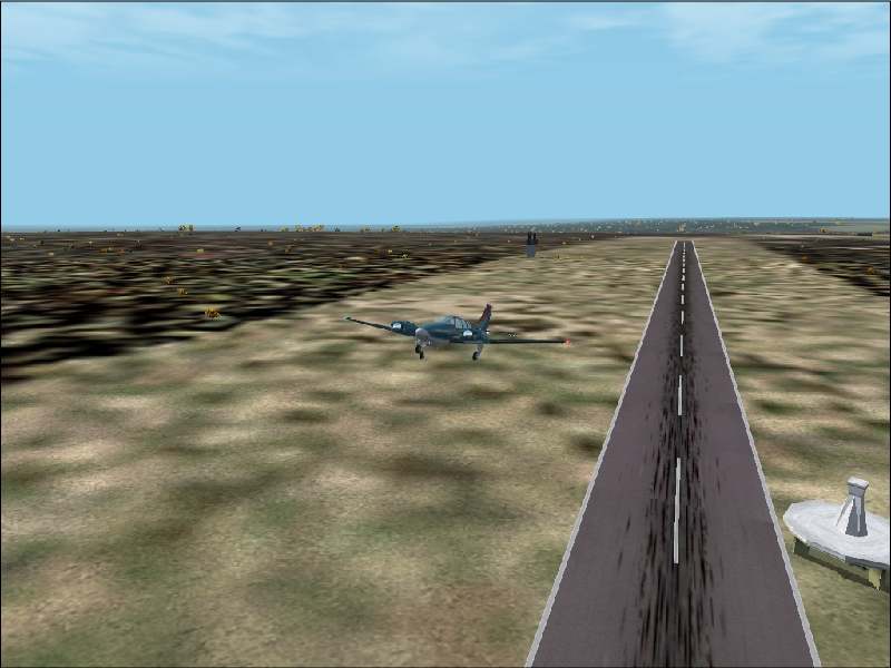
2) And we're away.
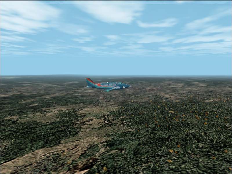
3) Climbing over the Brazilian landscape.
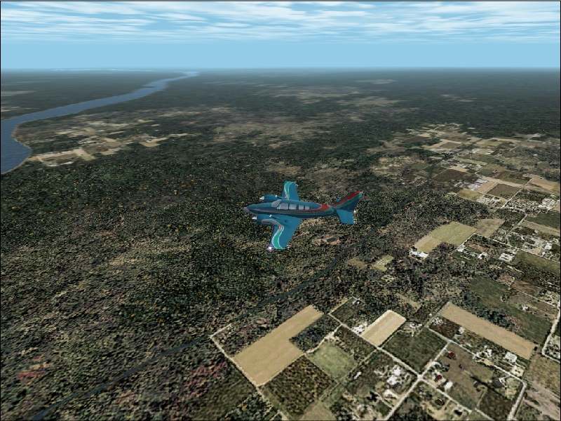
4) About to cross the Rio Xingu.
5) The Brazilian rain forests.
6) It's going to be well dark by the time I get
to Rio.

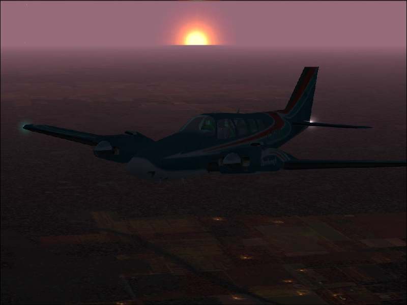
7) The Sun setting.
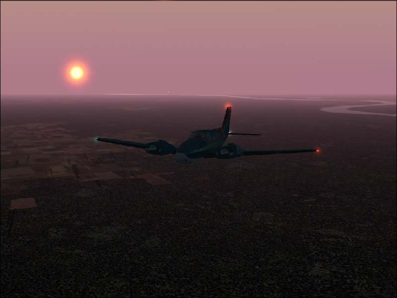
8) More sunset.
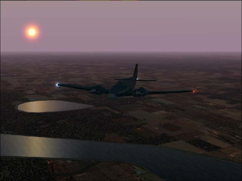
9) Night falls over the Rio Araguaia.
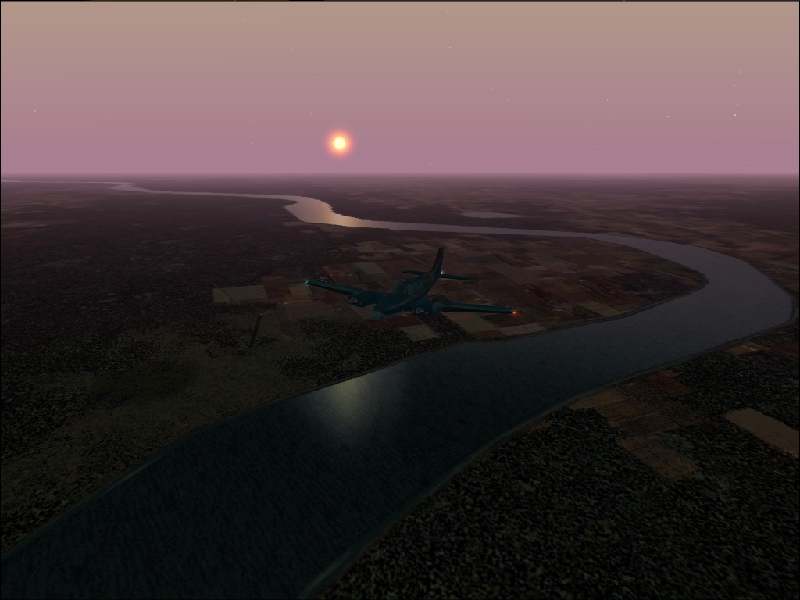
10) Last sight of the Sun.
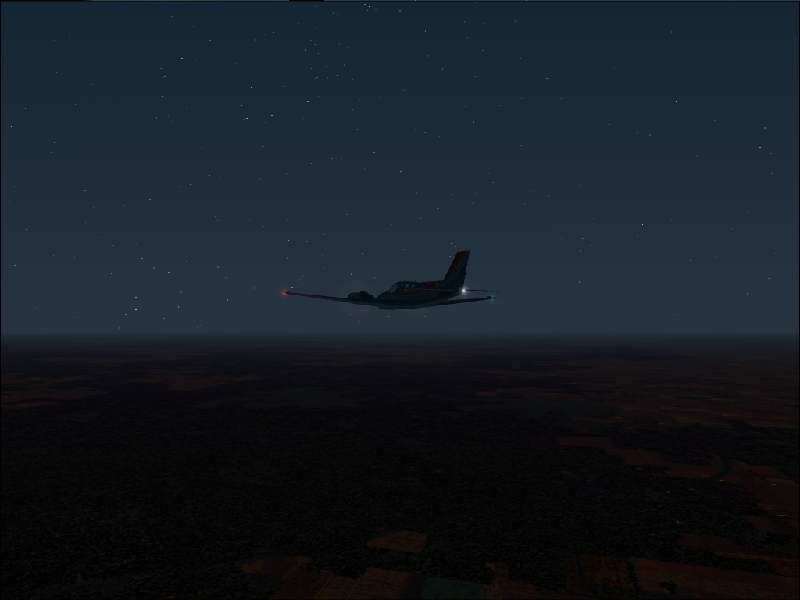
11) Starry night and all looks great..for_now.....
12) 500nm from Rio and the TCAS is starting to
get busy.
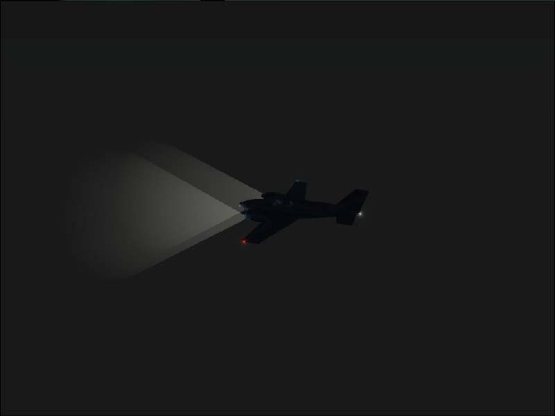
13) Errr......
14) The fog disappears at last.

15) Spoke to soon.
16) 31nm from the airport and it isn't looking
good - note the low fuel warning light...
17) It clears again on base leg.
18) Expletives deleted!!

19) Taxiing through the sounds (but not sights)
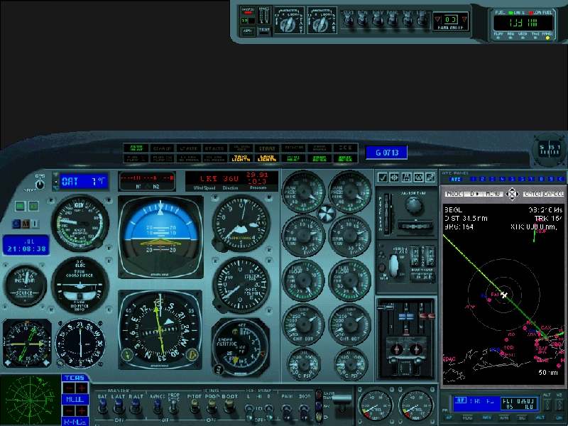
of other aircraft.
20) The GPS tells the story of the disastrous
final approach.

21) 15 minutes after landing - the parking
spot. Lemme out of here!!!
Back to top