Leg 6
Qikiqtarjuaq to Poste
Montagnais 28th December 2002
After the Christmas break, it's time to set off on the
long haul South.
I had a look at the map and selected what seemed (from
the lack of A.T.C.) to be another isolated airfield in Quebec - Poste Montagnais,
940nm away. I took note that this airfield was 1,985 feet above sea level,
making it by gar the highest one I'd visited so far.
I re-fuelled ready for take off at 08.35 local time and
noted ruefully that it was still dark. Being unsure how much daylight was going
to be available on this leg, I decided I'd better leave regardless and announced
my intentions on the multicomm frequency.
I reached my cruise altitude of 12,000 feet, having
being decided by both the leg distance and fact that I wasn;t anticipating much
in the way of detail in the ground scenery. A short while later the scenery
brightened a little with the promise of dawn. A blanket of cloud descended
beneath me but this was to prove to be a short lived experience and the only
part of the flight where it made an appearance in any density at all.
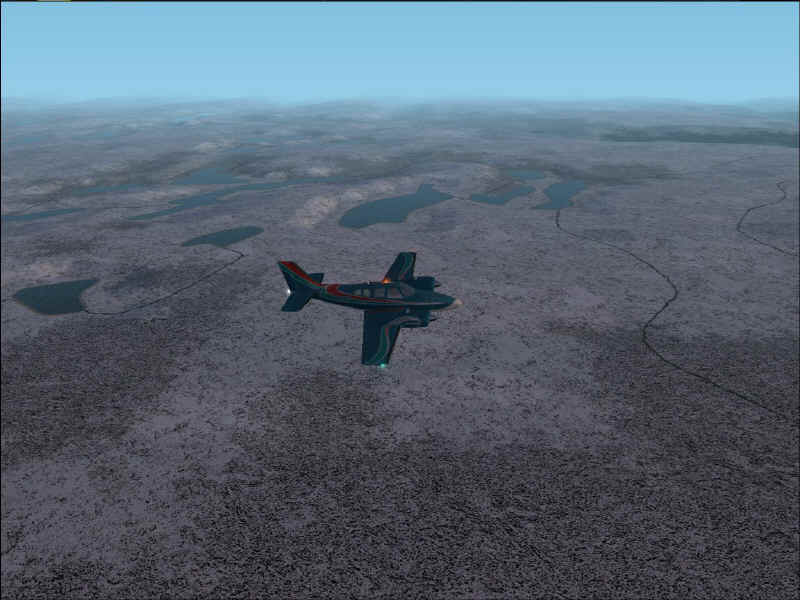
As the sun rose, I surveyed the icy wasteland beneath
me. As far as the eye could see, it was ice, sea and snow covered trees. Nice
view from a cockpit but I wouldn't plan on booking my vacation here as I looked
at the -44 degrees centigrade on my temperature gauge.
As I looked up from the gauge something caught my eye
through the windshield. It was the bright light of (I assumed) another aircraft
descending at a rapid (and I do mean rapid) rate of knots.
Now I should explain at this point, that I'd finally
experienced what Microsoft were talking about when they refer to sliding
textures near the poles. Contrary to my expectations, this doesn't mean the
scenery slides around everywhree as you look at it. It's not nearly that bad.
What happens is that when you're in spot view and you rotate around your
aircraft, the ground textures appear to "float" and move in relation
to their position on the Earth. This is a little disconcerting but not nearly as
bad as I was expecting.
So, returning to my kamikaze A.I. aircraft, my initial
reaction was to attribute this strange behaviour to the locality and the foibles
of the FS2002 polar regions. I was tuned to A.T.C. but beyond their usual
complaints about aircraft not maintaining their assigned altitudes, there was
nothing unusual. I watched the bright light descend under the horizon and then
give the visual impression that it was, in fact, travelling very fast towards me
rather than plummeting straight down. I again mentally blamed the proximity to
the poles, as I followed the trajectory of the plane in spot view. However, my
jaw dropped when I watched the bright white light disappear into the sea. I kid
you not - it just vanished before my eyes. Now bear in mind that I'm at 12,000
feet here - so no splashes or other indications that it had actually gone under.
I swiftly panned around the Baron to make sure that this wasn't some optical
illlusion but no - nothing. It had completely gone. Nothing from A.T.C. to
indicate anything unusual and of course, I didn't expect there to be. To my
knowledge, A.I. air crashes and emergencies aren't in any way represented in
FS2002. Finally, I gave up reasoning with what had happened and decided to put
it down as my first (and probably last) U.F.O. sighting LOL. If, however, anyone
else has seen something similar in FS2002, please e-mail me and let me know. I'
love to know what FS2002 was trying to represent there.
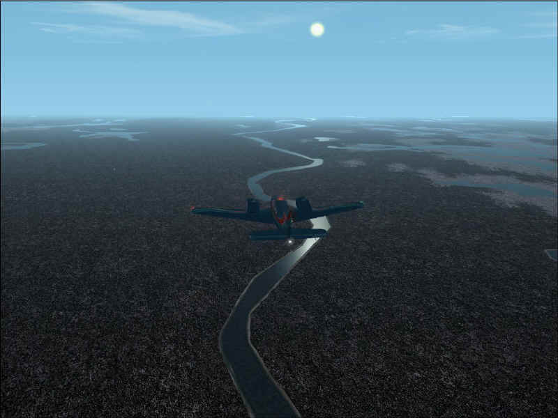
So with that little bit of excitement behind me, I
watched the miles roll away beneath me and hoped that the daylihgt would
last until my landing.
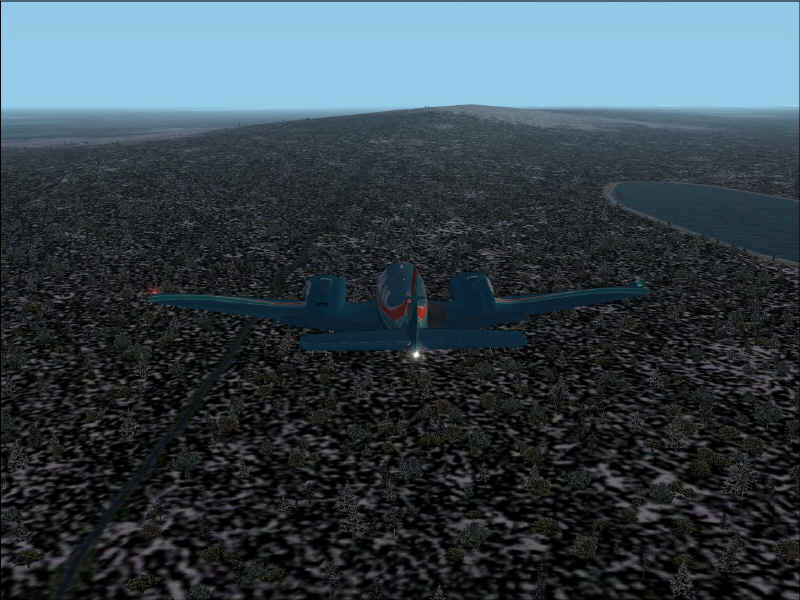
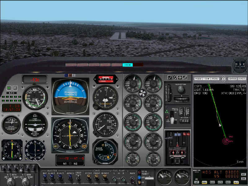
As it happened it did, and just as well too. As I came
within 30nm of Poste Montagnais, there was no visual indication of a site for an
airstrip anywhere. What there was, was a great big hill right on my final
approach which of course did nothing for my view. I got over with 8nm to go
and....couldn't see a thing. The combination of the snow, trees and general lack
of anything else was doing nothing to give me any visual clues. As always, I had
my instruments to refer to and put my trust in them, hoping that I hadn't forgot
to set anything up. All I had was the G.P.S. and an N.D.B. More than sufficient
you might think, but then you weren't 5nm from your point of landing with only
1,500 feet of radar altitude left and no airstrip in sight!
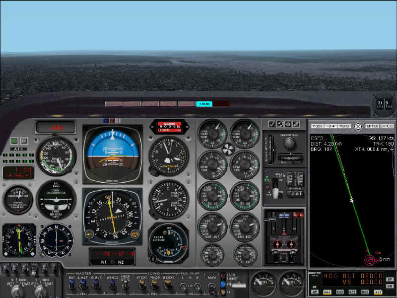
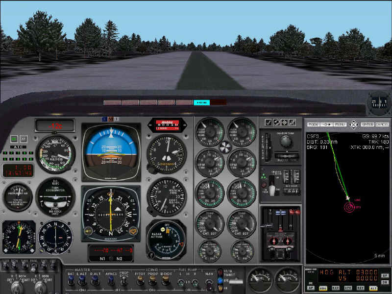
Finally, I spotted it. It's the narrowest airstrip I've
ever seen in FS2002, being not much wider than the plane itself, and surrounded
by woodland. As I came in to land, I saw the re-fuelling station on my right but
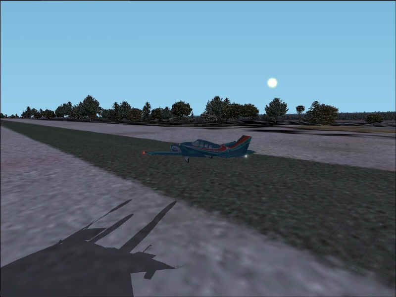
nothing in the way of airport buildings. Safely down, I taxiied towards the
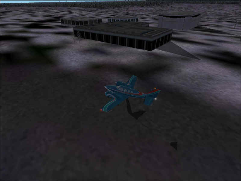
re-fuelling point intending to park there when I potted some buildings in the
near distance. This confused me at first because there was no taxiway to them.
Then I realised that although they were in complete isolation (no other autogen
buildings in the vicinity), they were on a main road and possibly not actually
part of the airfield itself. With the prospect of a warm bed and a bar (which
was the deciding factor) I travelled the few hundred yards over to them and
killed my engines.
Next stop is my first pre-booked destination from
"netshadoe" being Rockliffe Airport Ottawa.
Screenshots
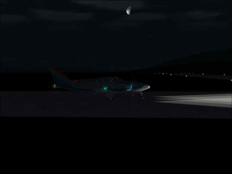
1) Ready for takeoff at Qikiqtarjuaq with the Moon shining down.
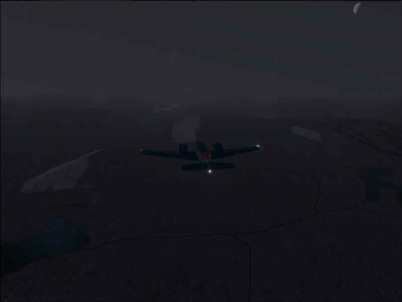
2) Scenery brightening with the promise of dawn.
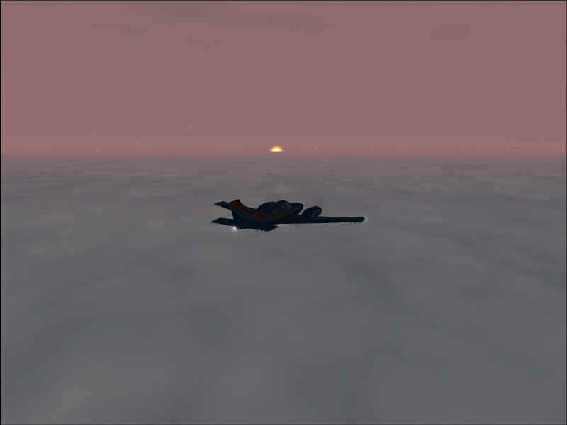
3) Cloudy, but there's the sun!
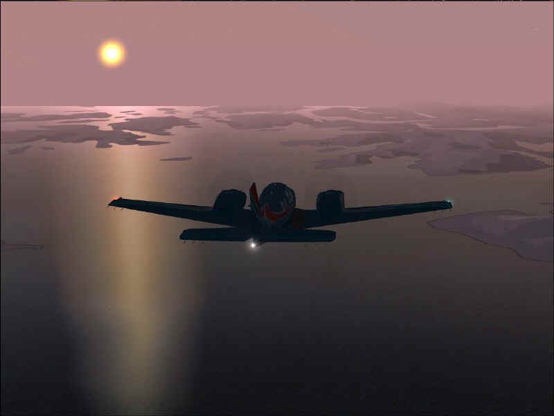
4) Ice and water - but how long will that sun last?
5) Beautiful bit barren.
6) South towards Quebec.
7) The hill obscuring my view of the airfield.
8) Finally I spot it - right in the middle.
9) Man that's narrow.
10) My drive is wider than this!!
11) About to touch down safely.
12) Parked outside the buildings I found - none of
which looks like a bar, sadly...
Back to top