Leg 13
Carrasco International Airport, Montevideo
to Guardiamarina Zanatu 26th April 2003
Those of you that scroll straight down to the
screenshots will have noticed something different about this leg: there aren't
many. I'll describe the journey as best that I can without them.
For the sake of those that haven't caught up with the
misfortunes of Leg 13 (Ominous drumroll) in the forums, I'll
proceed with the narrative in the way that I wrote my notes..
I started off with a reasonably sunny day in
Montevideo. I should start off by saying that I'm not a superstitious man by
nature. My journey so far has, however, taught me that FS2002 has the habit of
playing the devil sometimes. It's a tease and a prankster!
So it was with some reservations that I commenced this
commonly unlucky numbered leg. My flight plan was to take in Stanley Airport in
the Falkland Islands, refuel and then hop the remaining 400nm or so to
Guardiamarina Zanatu airport (I'll refer to it as GZ from now on) in Chile.
Until a few days ago, this would have seen me fulfilling my only other objective
on this journey than circumnavgating the globe, being to visit the most Northern
and Southern airports modelled in FS2002. By default, GZ is the furthest South.
However, there is some add-on scenery that adds the scientific posts (and
airstrips) in Antarctica. I'd avoided this up until now because despite having
been advised about it once before, I was under the impression that it contained
fictional locations. Further investigation by one of my friends in the
Simviation FS2002 forum, and subsequent scrutiny of the accompanying readme file
revealed that this wasn't quite true. The locations are, bar 2 which have had to
be moved due to the failure of FS2002 to model the extreme polar areas,
accurate. It is just the appearance which has been left to the author's
imagination and so I went ahead and installed the scenery.
The bottom line to this is that my quest South has now
been extended by a further 2,700nm+!! Still, that's for the next leg or two.
So, I fired up the Baron, refuelled and found myself
behind a queue of A.I. traffic. Fortunately, A.T.C. were a little more efficient
than I've normally found them to be and I lifted off at 09.57 local time.
I climbed to 10,000 feet as most of the flight to
Stanley airport would be over the sea. I came close enough to the Argentinian
coastline to get a reasonable view, but it soon fell away from view. For the
first time in a while, the ice warning light appeared. Not terribly cold, and
induced by the altitude more than anything else, I activated the de-icing
circuits and settled back for a long dozy flight with nothing but he water and
the occasional cloud to keep me company. The wind wasn't my best friend on this
leg. It was blowing at a steady 24 knots from the West, causing the autopilot to
point me 7 degrees off my desired course to maintain the bearing.
A good hour before I reached the Falklands the Sun
decided to leave me to it. Having had little else to think about for a while,
the thought that Stanley airport isn't equipped with an instrument landing
system (ILS) and that number 13 kept nagging at the back of my mind. I settled
for taking a couple of mostly unnecessary screenshots and chewed my fingernails.
As it happened, it was a pretty good landing with no
incident. I half filled the tanks to cover the remaining distance to GZ and took
off again. By this time, I confess I was pretty bored. I popped into the forum
to see what was happening, flipping back to FS2002 every minute or two to check
that I wasn't about to collide with anything and make sure A.T.C. weren't
shouting at me. That "13" kept nagging at me and I decided I'd be best
staying bored rather than let FS2002 get the better of me, so I flipped back for
the last time. When I did, I was met with a windshield full of grey. The fog had
swiftly closed in around me and I looked around at complete zero visibility.
"13....13...." I thought. I took a quick look at my notes for GZ. A
VOR (directional radio beacon) but no ILS. Beads of sweat leapt out on my
forehead for a reunion party from Leg 10. I nervously played with the
(completely empty) TCAS radar for something to do. At about 80nm from GZ, I
began my descent. It was about a minute later that I discovered the beads of
sweat had thrown a party for nothing. It wasn't fog I'd been flying through, it
was cloud, which I sank below in the very first part of my descent. I gave
myself a slap on the forehead and grinned out of the windshield."13"
... Ha!!! Almost there and FS2002 had only been teasing with fog!! At almost
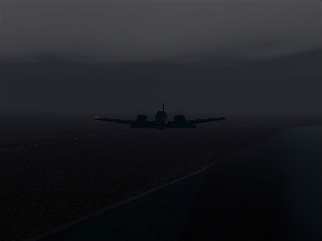
precisely this point, the heavens opened and I was surrounded by torrential
rain. I flipped swiftly to my desktop to make sure I'd got the pic .. which was
when I noticed 2 things....
1) I hadn't got that pic and
2) I hadn't got any others either.
I'd forgotten to activate the screenshot utility. I
could hear the beads of sweat roaring with laughter. FS2002 winked at me and
mouthed "13". Nothing else for it but to grit my teeth, activate it
and grab as many remaining shots as possible.
I landed at 18.43 local time (having crossed a time
zone to put me back to 5 hours behind G.M.T.) and parked the Baron up. As a
parting shot, my screenshot utility had thrown a floating decimal error in
resulting in only one shot out of the remainder I took having been saved. I
restored some save points from the flight and recreated what I could, but
unfortunately they only covered the last 20 minutes or so of the flight.
Suffice it to say that I've amended my autosave to
cover the whole flight in future.
Leg 14 will see me heading into the completely unknown
territory of the Antarctic wasteland.
Screenshots
1) Driving rain 80nm outside
Chile.

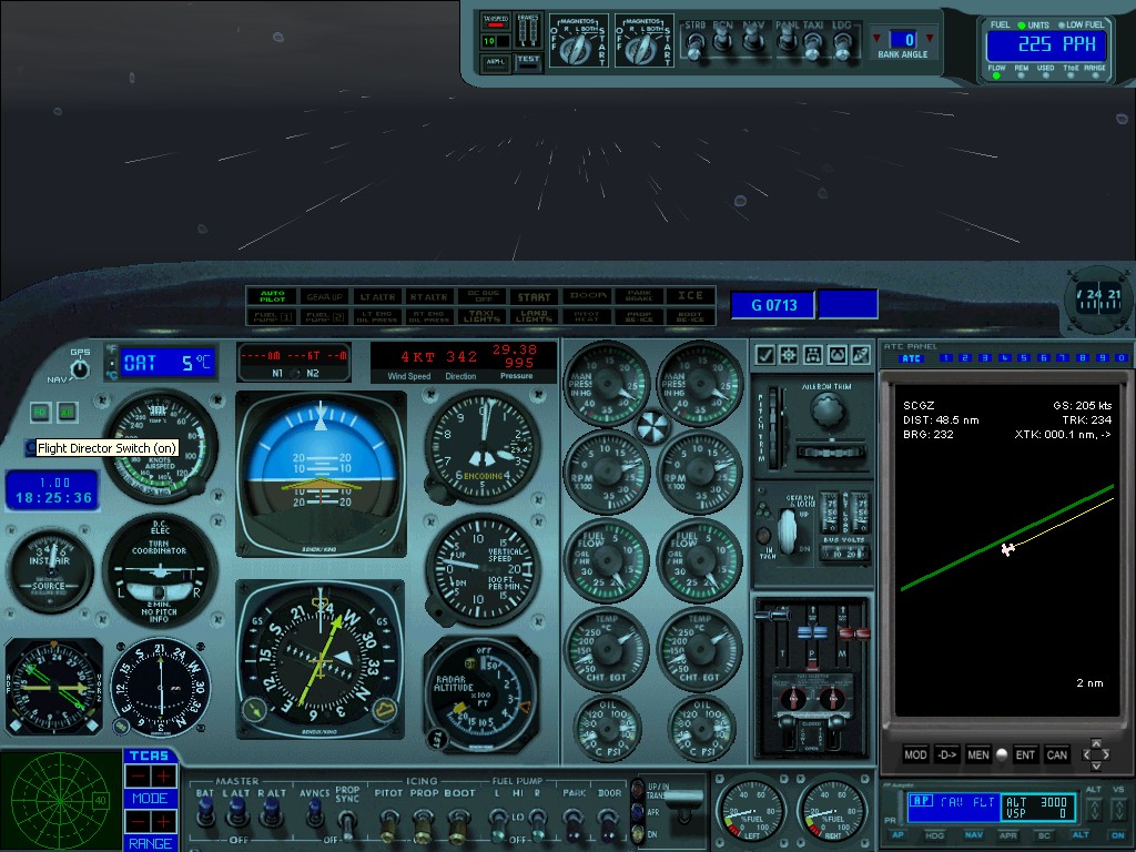
2) Dull night crossing into Chile.
3) Someone lean out and wipe me windshield!!
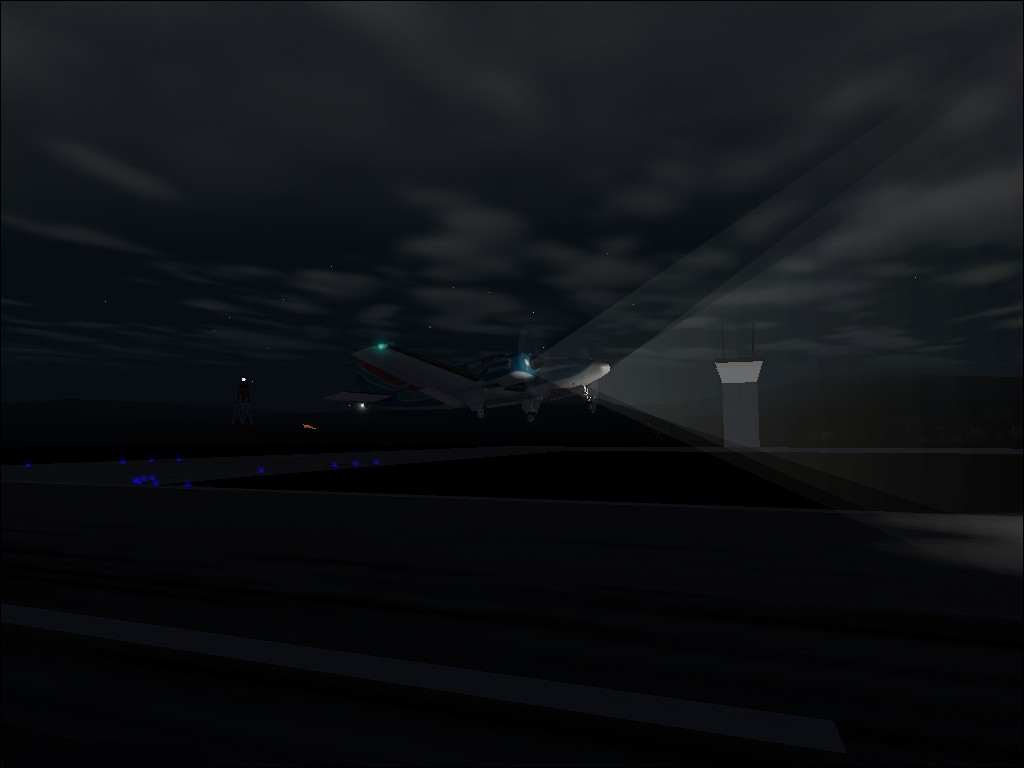
4) Flaring as I pass the Control Tower.
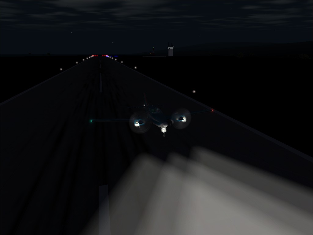
5) Down at Guardimarina Zanatu.
Back to top