
![]()
![]()
![]()
![]()
![]()
![]()
![]()
![]()
![]()
![]()
|
|
|
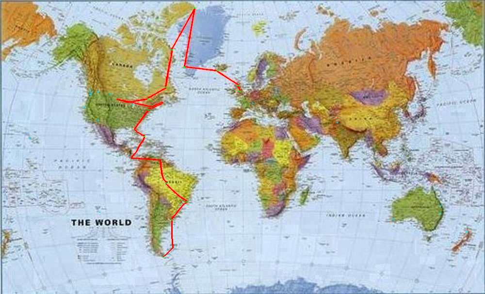
Interactive Route Map This feature allows you to not only see the route flown so far, but also to jump directly to the report for each leg. Each leg is represented by a red line joining each airport of departure and arrival, denoted by green dots. Clicking over the leg will take you directly to the report. Pre-booked destinations not yet arrived at are denoted by light blue dots. NOTICE: Due to the constant colour degradation of the map whilst in jpeg format, I have now changed the file format to bmp. This has meant a significant increase in the file size and consequent loading time for which I apologise. However, there is no longer any colour degradation and the route visibility is much improved.
|
|
Source code and graphics © J.Consterdine 2003 |